Galloway description 1654 "The inhabitants engage in fishing both in the surrounding sea and in…
Galloway Maps 1580 – 1665
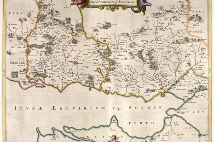
Galloway. This was not part of the Border Marches but Pont travelled the area and made notes from which Blaeu produced his atlas. For the sake of completeness and to encourage the search of the history of the area I have included these links. Note the settlements do not have as many towers shown as nearer the troubled border region.
Galloway Kirkudbright to West to top of the map 1664 : A map of the area around Kirkudbright to the West (up on the map)
Galloway Kirkudbright to West to top of the map 1654 : A map of the area around Kirkudbright to the West (up on the map)
….
Galloway Kirkudbright to East to bottom of the map 1664 : A map of the area around Kirkudbright to the East (down on the map)
….
Galloway Dumfries East to Stranraer Loch Ryan drawing 1633 : A map of the coast from Loch Ryan Stranraer nearly to the head of Solway 1633
An incomplete map of Dumfries and Galloway, compiled by Robert Gordon of Straloch (1580-1661), at an unknown date after 1633. Most of the detail is in the western half of the map, that is, west of Kenmure. The source of the compilation was the observations on the ground of Timothy Pont, in the last two decades of the sixteenth century. Many of the idiosyncrasies of the coastal outline can also be seen in a map entitled GALLOVIDIA published in Amsterdam by J. Blaeu in his ‘Atlas Novus’ of 1654 and credited to Pont.
Galloway Dumfries East to Stranraer Loch Ryan coloured map boundaries 1664 : A map of the coast from Loch Ryan Stranraer nearly to the head of Solway 1664
Galloway Dumfries East to Stranraer Loch Ryan coloured map boundaries 1654 : A map of the coast from Loch Ryan Stranraer nearly to the head of Solway 1654
….
Galloway Wigtown Loch Ryan Luce Bay Stranraer 1654 Map :
Although not part of the Border Reivers area, this section is included so that all of Dumfries and Galloway is covered and encourages interest in this undiscovered area of Britain.
Galloway Loch Ryan Wigtown Glenluce. The map covers the entire county of Wigtownshire plus a very small part of southwest Ayrshire, at larger scales than the cover of the same area on Blaeu’s GALLOVIDIA. The engraving of the English translation of the title outside the cartouche is an unusual feature. The settlements of the Mull of Galloway and of the south of Wigtownshire are depicted in great detail. Dunskey Castle on the west shore of the Mull is particularly prominent. The map was compiled from observation on the ground by Timothy Pont in the last two decades of the sixteenth century. It was engraved in Amsterdam, for publication in Blaeu’s Atlas Novus, first published in 1654.
…..
Nithsdale Upper to Ayr coast 1664 Map : Charting the Nation website


