skip to Main Content

Galloway Description from Blaeu Atlas 1654

Galloway description 1654 "The inhabitants engage in fishing both in the surrounding sea and in the rivers and lochs which flow everywhere below the hills; from these at the autumnal equinox they catch in boxes…
Read more

Nithsdale Description from Blaeu Atlas1654

Nithsdale description 1654 "Nithsdale together with Annandale nurtures a warlike race of men, but they have a bad reputation on account of their raiding. For they occupy the sandy Solway Firth, through which they often…

Read more

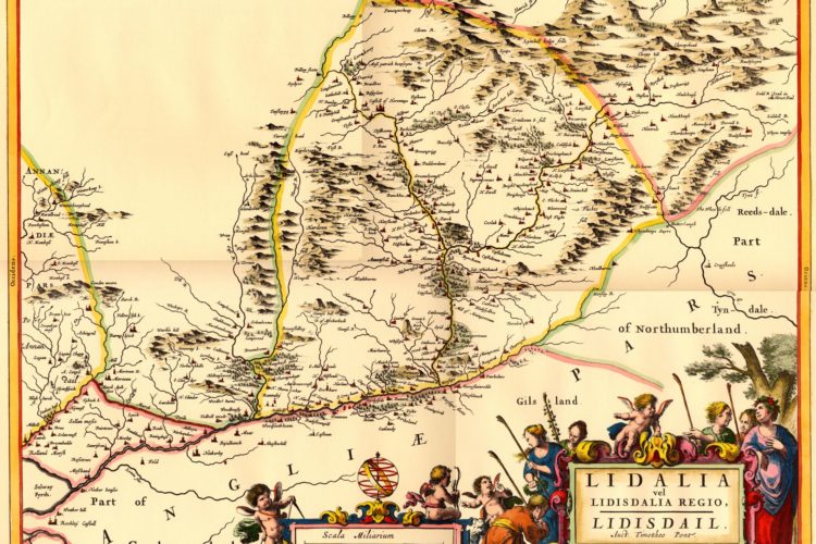
Liddesdale Description from Blaeu Atlas 1654

Liddesdale Description 1654 In Liddesdale rose up Hermitage, so called because it will at one time have been dedicated to the solitary life; but now it is a well-fortified castle, which belonged to the Hepburns;…

Read more

Teviotdale Description from Blaeu Atlas 1654

Teviotdale Description 1654 "inhabited by a warlike people, who on account of the very frequent wars in previous centuries between the Scots and the English, are highly prepared for military service and sudden attacks." The…

Read more

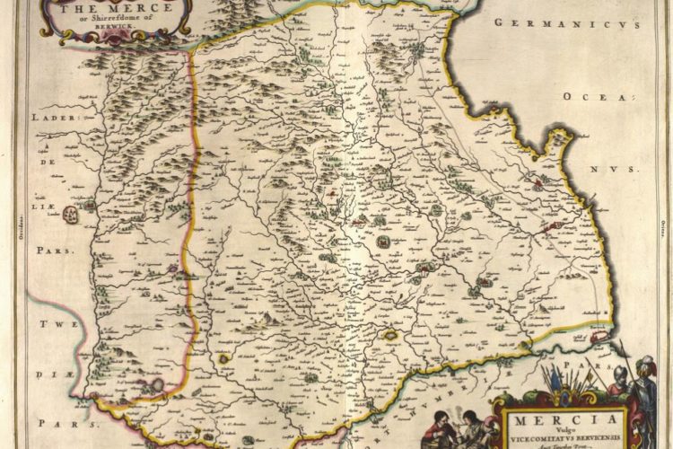
Tweeddale Description from Blaeu Atlas 1654

Tweeddale and the Province of Peebles 1654 "scattered by the force of the fish as they burst out, losing the footholds which they have endeavoured to make and strengthen for themselves. Nonetheless they catch in…

Read more

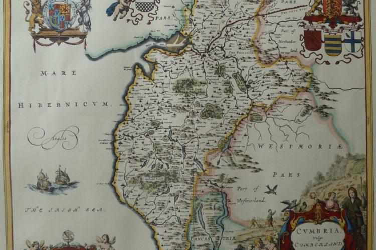
Cumberland West March England Maps 1580 – 1665

Cumberland 1622 map Based on notes and sketches 1580-1613 by Timothy Pont who travelled in Scotland and northern England. Although robbed and suffering in primitive conditions, his notes, updated by Gordon of Straloch, were the…

Read more
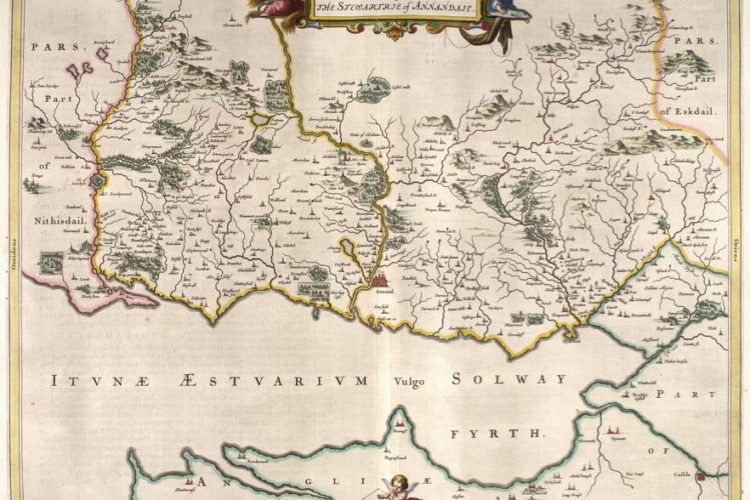
Annandale 1654 Blaeu Map CTN

Galloway Maps 1580 – 1665

Galloway.  This was not part of the Border Marches but Pont travelled the area and made notes from which Blaeu produced his atlas.  For the sake of completeness and to encourage the search of the…

Read more
Back To Top
Search